
Harvey
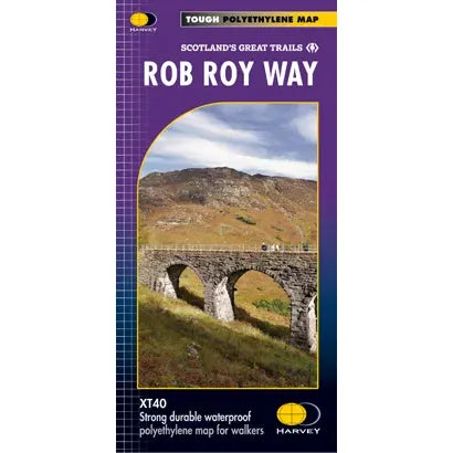
Harvey Scotland's Great Trails: Rob Roy Way Trail Map
Harvey Scotland's Great Trails: Rob Roy Way Trail Map
Couldn't load pickup availability
Harvey Scotland's Great Trails: Rob Roy Way Trail Map
Entire route on one map
One of Scotland's Great Trails, the Rob Roy Way is a walk across part of the Southern Highlands of Scotland. The Way is 124km (77 miles). There is an alternative route at 151km (94 miles)
The route takes in some of the most beautiful countryside in the UK. Starting from Drymen it goes north east to finish in Pitlochry. The tracks and paths you follow were used by Rob Roy MacGregor in the 17th & 18th centuries, other historical characters throughout the Jacobite uprisings and during the feuds between the local clans.
Places you pass through include Aberfoyle, Callander, Strathyre, Killin or Amulree and Aberfeldy.
Lochs include Venachar, Lubnaig and Tay, and nearby hills are Ben Ledi, Ben Chonzie and Ben Lawers.
Tough, light, durable and 100% waterproof
Genuine original HARVEY mapping
Route clearly marked
| Stuc a'Chroin | Munro | 975m | NN617174 |
| Creagan na Beinne | Corbett | 888m | NN744368 |
| Creag Uchdag | Corbett | 879m | NN708323 |
| Ben Ledi | Corbett | 879m | NN562097 |
| Meall an t-Seallaidh | Corbett | 852m | NN542234 |
| Beinn Each | Corbett | 813m | NN601158 |
| Creag MacRanaich | Corbett | 809m | NN545255 |
| Shee of Ardtalnaig | Graham | 759m | NN729351 |
| Beinn na Gainimh | Graham | 730m | NN837344 |
| Meall Buidhe | Graham | 719m | NN576275 |
| Sgiath a'Chaise | Graham | 644m | NN583169 |
| Creag Gharbh | Graham | 637m | NN632327 |