
Ordnance Survey
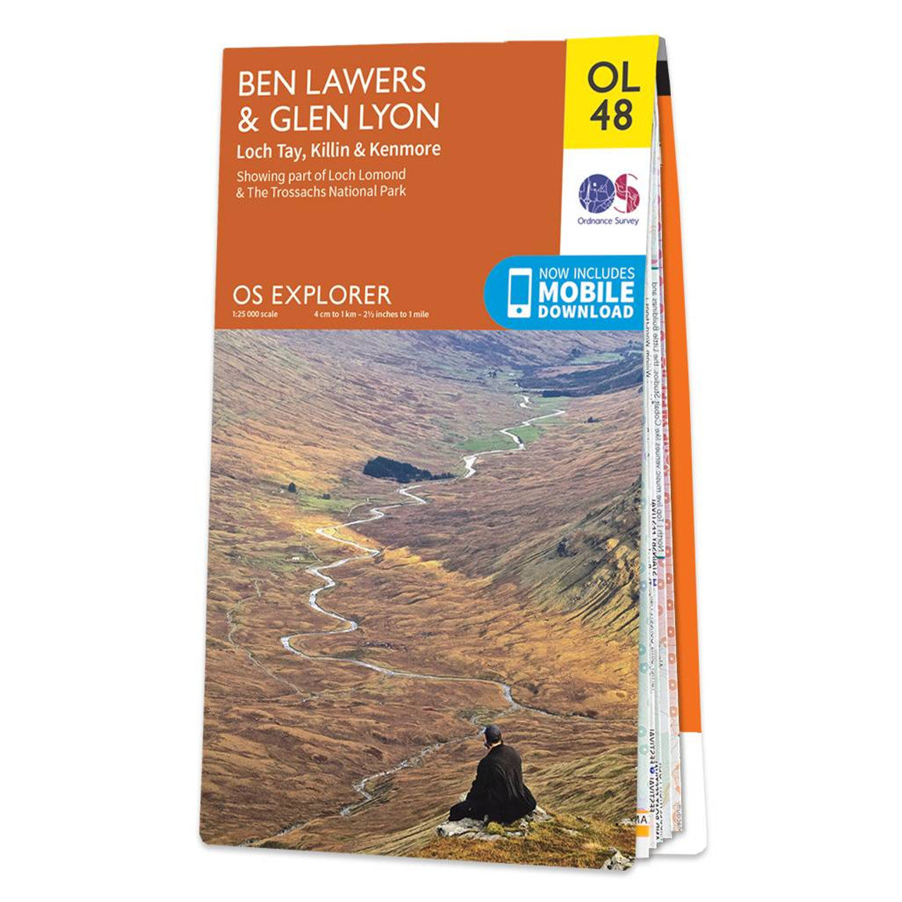
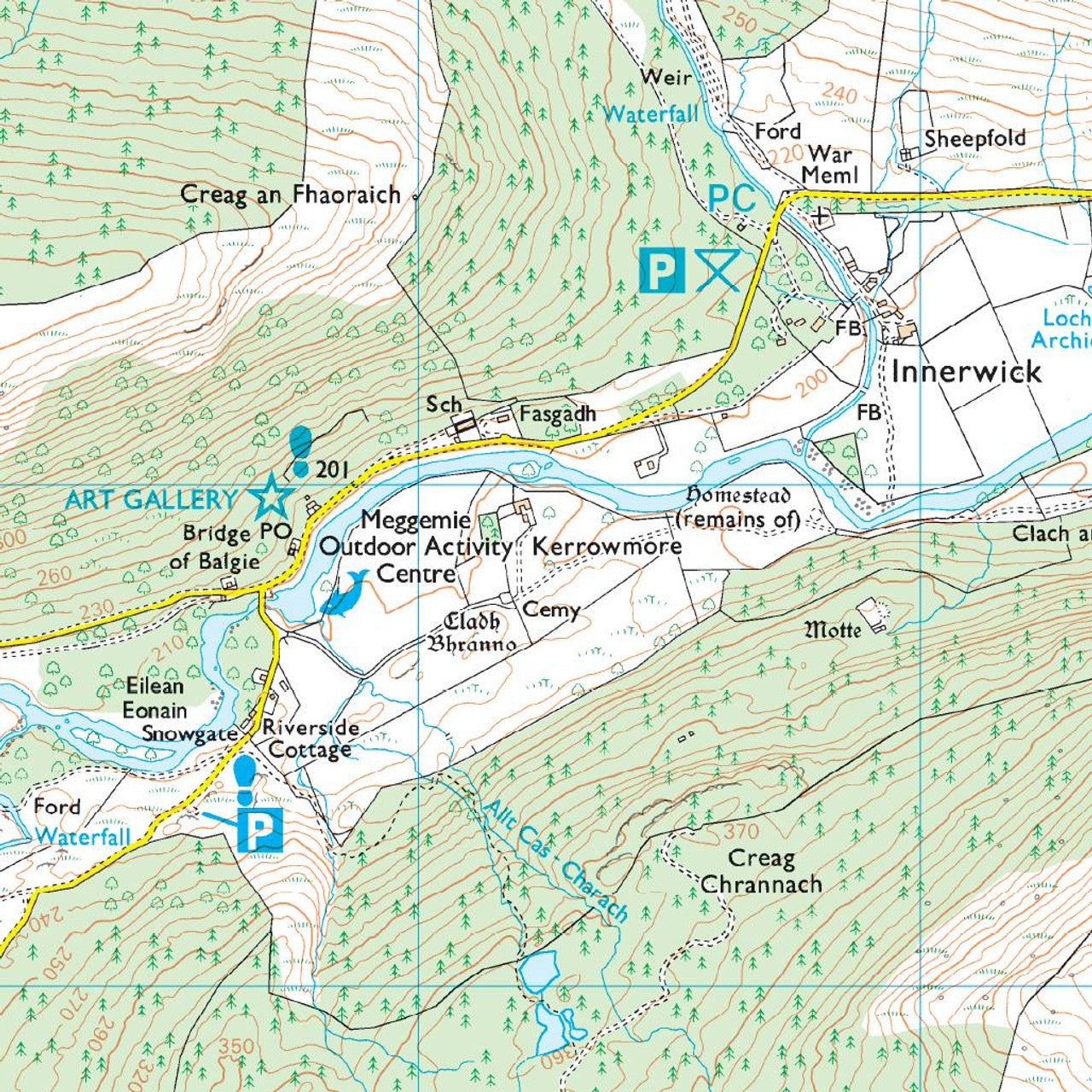
Map of Ben Lawers & Glen Lyon OL48
Map of Ben Lawers & Glen Lyon OL48
Couldn't load pickup availability
Map of Ben Lawers & Glen Lyon
Loch Tay, Killin & KenmoreOL48 1:25 000
Free digital download
Receive a free download with purchase of this map. Find out more at Mobile Download FAQ.
![]()
Explorer 1:25,000 Scale
Every 4cm on the map is 1km, making our leisure selection the most detailed maps; perfect for activities such as walking, running, and cycling
![]()
Be ready for anything
Find marked public rights of way, byways, trails, cycle routes, bridleways, road networks, & railway lines
![]()
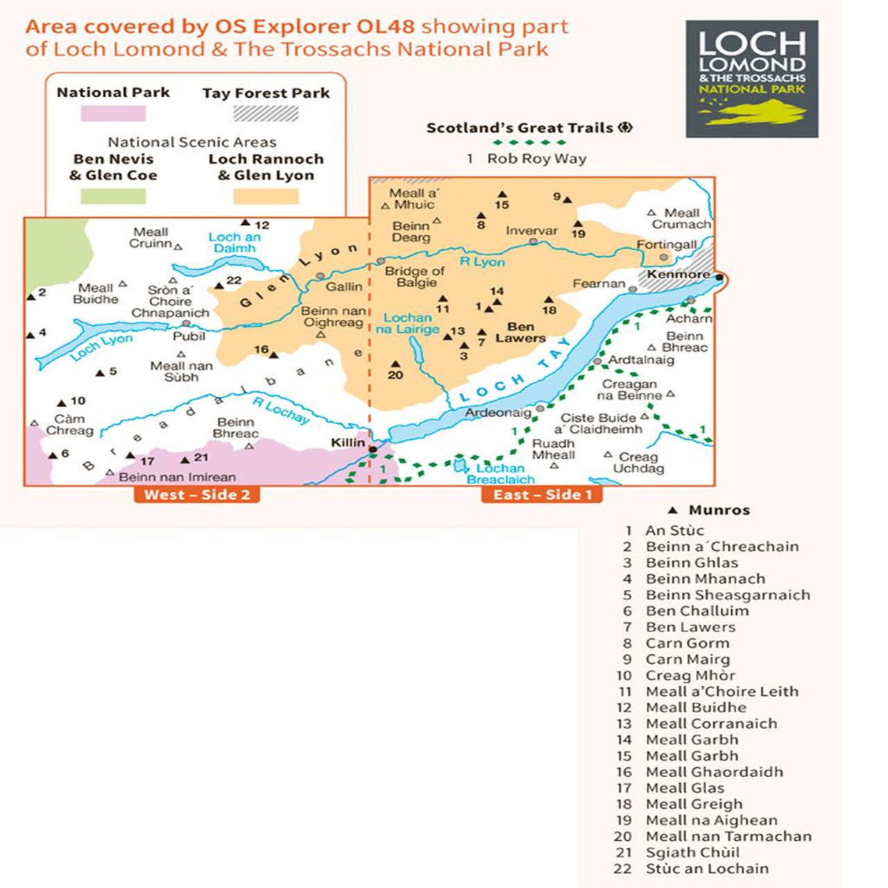
Not sure which map you need?
Discover which area this map covers with the map area overview below or read more about our different types of maps
![]()
Topographic mapping
Highly detailed contour mapping highlighting variations in terrain and everything you would expect from a map
![]()
Explore local landmarks
Discover camping sites, picnic spots, tourist information, car parks, historical sites, pubs, & much more