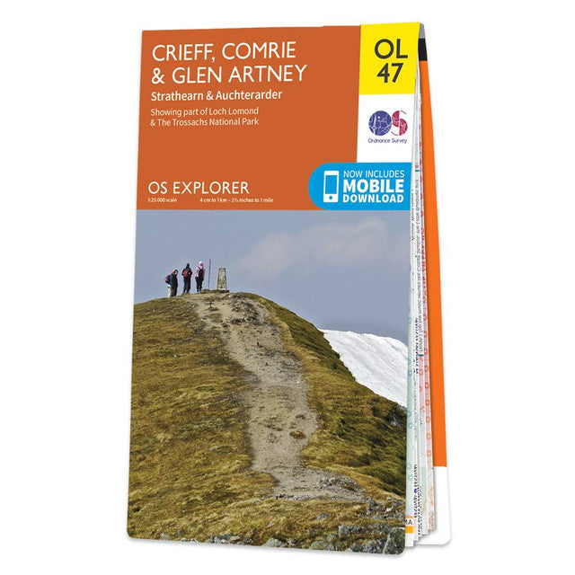

Ordnance Survey
Map of Crieff, Comrie & Glen Artney OL47
Map of Crieff, Comrie & Glen Artney OL47
Regular price
£12.99 GBP
Regular price
Sale price
£12.99 GBP
Unit price
per
Tax included.
Shipping calculated at checkout.
Couldn't load pickup availability
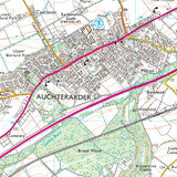
Map of Crieff, Comrie & Glen Artney OL47
Strathearn & Auchterarder 1:25 000
Free digital download
Receive a free download with purchase of this map. Find out more at Mobile Download FAQ.
Explorer 1:25,000 Scale
Every 4cm on the map is 1km, making our leisure selection the most detailed maps; perfect for activities such as walking, running, and cycling
Be ready for anything
Find marked public rights of way, byways, trails, cycle routes, bridleways, road networks, & railway lines
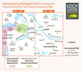
Not sure which map you need?
Discover which area this map covers with the map area overview below or read more about our different types of maps
Topographic mapping
Highly detailed contour mapping highlighting variations in terrain and everything you would expect from a map
Explore local landmarks
Discover camping sites, picnic spots, tourist information, car parks, historical sites, pubs, & much more