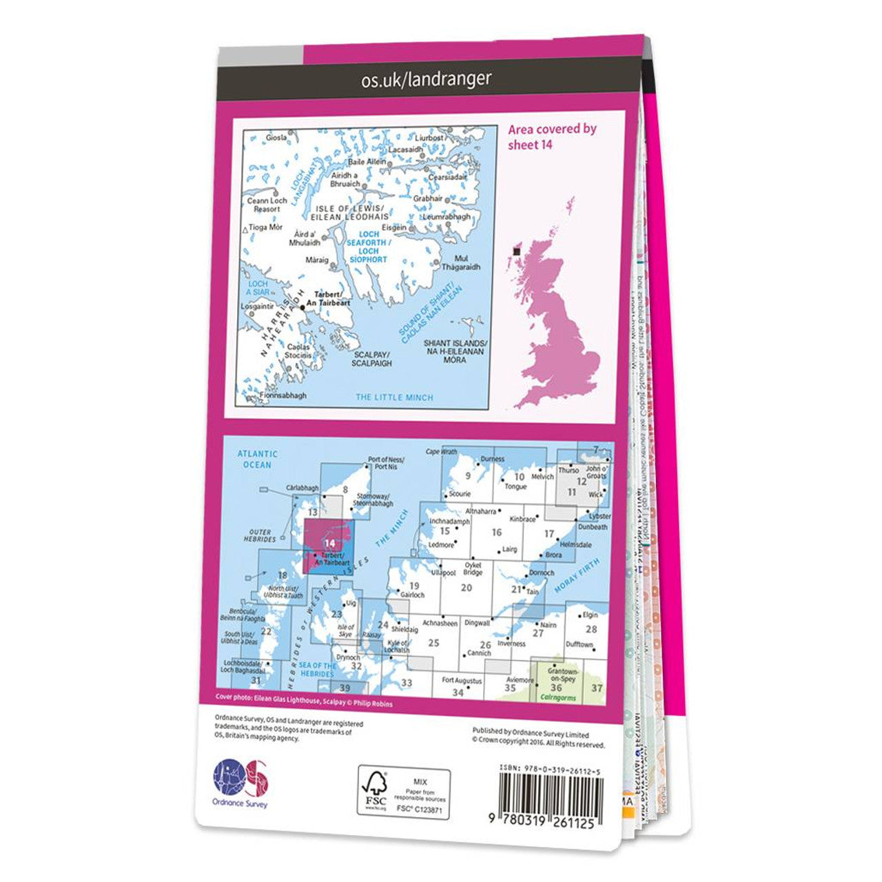


Ordnance Survey
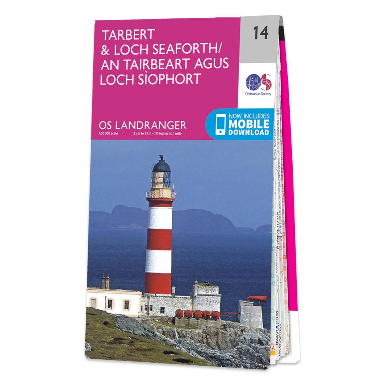
Map of Tarbert & Loch Seaforth 14
Map of Tarbert & Loch Seaforth 14
Regular price
£12.99 GBP
Regular price
£12.99 GBP
Sale price
£12.99 GBP
Unit price
per
Tax included.
Shipping calculated at checkout.
Couldn't load pickup availability
Map of Tarbert & Loch Seaforth
Receive a free download with purchase of this map. Find out more at Mobile Download FAQ.
![]()
Landranger 1:50 000 scale
Every 2cm is 1km, which means less detail but more area covered, while still including key elements such as footpaths, rights of way, and tourist information
![]()
Be ready for anything!
Whether it’s a long hike, a cycling tour, or a driving holiday – our Landranger maps are the perfect companion
![]()
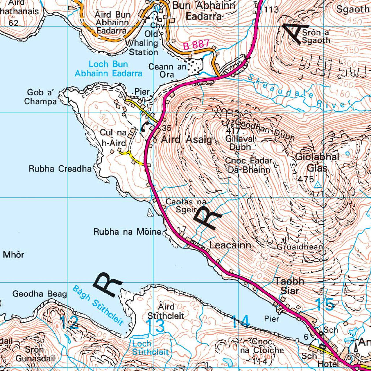
Topographic mapping
Highly detailed contour mapping highlighting variations in terrain and everything you would expect from a map
![]()
Weatherproof options
Our Landranger maps come in both standard and weatherproof, so you don’t have to worry about getting caught out in a storm
![]()
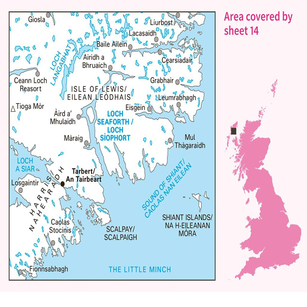
Not sure which map you need?
Discover which area this map covers with the map area overview below or read more about our different types of maps